The Immigrant Who Sketched America's Waterways by Heart — And Became the Nation's Secret Weapon in Diplomacy
The Draper Who Drew Nations
In 1812, while America was literally fighting Britain over where exactly their shared border should be, negotiators on both sides were consulting the same source: hand-drawn maps created by a Scottish immigrant who had never set foot in half the territories he was sketching.
John Melish arrived in Philadelphia in 1806 as a cloth merchant — a draper, in the parlance of the time. He had no formal training in cartography, surveying, or geography. What he did have was an almost supernatural ability to absorb geographical information and an obsession with getting things right that bordered on the pathological.
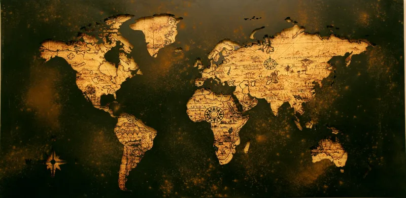
By 1816, his "Map of the United States with the Contiguous British and Spanish Possessions" had become the unofficial blueprint for a growing nation. Treaty negotiators used it. Settlers planned their journeys with it. And most remarkably, when later surveys were conducted with proper instruments, Melish's memory-based maps proved to be accurate within margins that would make modern cartographers jealous.
The Art of Armchair Exploration
Melish's method was beautifully simple and completely insane by today's standards. He positioned himself at taverns, trading posts, and busy intersections in Philadelphia, striking up conversations with anyone who had traveled America's interior. River pilots, fur trappers, military scouts, Native American guides — if you had walked, paddled, or ridden through unmapped territory, Melish wanted to buy you a drink and hear every detail.
He carried a notebook everywhere, sketching rough outlines while men gestured with their hands, describing how the Missouri curved north before bending west, or where exactly the tributary they'd followed connected to the main channel. He cross-referenced stories, looking for patterns and contradictions. When three different sources described the same bend in a river, he marked it with confidence. When accounts conflicted, he noted the discrepancies and sought out more travelers.
The result was something unprecedented: maps drawn not from direct observation, but from the collective memory of a continent's worth of wanderers.
When Memory Beats Technology
What makes Melish's achievement truly remarkable isn't just the accuracy — it's the speed. Professional surveying teams of his era moved slowly, taking precise measurements with chains and instruments. A single river system might take years to map properly. Melish was producing continent-spanning maps in months, updating them as new information flowed through Philadelphia's bustling trade networks.
His 1816 masterpiece covered over 3 million square miles, showing river systems from the Great Lakes to the Gulf of Mexico with a level of detail that wouldn't be officially confirmed until decades later. The map was so trusted that when American and British negotiators sat down to hash out the border following the War of 1812, both sides brought copies of Melish's work to the table.
The Diplomatic Consequences of Good Listening
Melish's maps didn't just document America — they helped define it. His depiction of the Rocky Mountains' eastern slope influenced where negotiators drew the line between American and British territory in the Pacific Northwest. His careful plotting of river headwaters affected treaty language that determined which waterways would remain international and which would become purely American.
In one particularly consequential case, Melish's map showed a tributary of the Red River extending further north than British maps indicated. American negotiators used this detail to argue for a border adjustment that ultimately added thousands of square miles to what would become Minnesota and North Dakota. The British, lacking better information, accepted Melish's version — which later surveys proved correct.
The Obsessive's Advantage
Melish's success reveals something profound about the relationship between formal expertise and passionate curiosity. While trained surveyors were limited by the speed of their instruments and the dangers of wilderness travel, Melish created a distributed intelligence network. Every conversation was a survey mission. Every tavern was a data collection point.
He understood something that modern information architects are rediscovering: sometimes the best way to map a complex system isn't to measure it directly, but to aggregate the experiences of everyone who has navigated it successfully.
The Legacy of Listening
Melish died in 1822, his maps having quietly shaped the borders of a nation. His techniques — combining multiple human sources, cross-referencing accounts, and trusting collective memory over individual authority — feel remarkably modern. He was essentially crowdsourcing geographical data decades before anyone had words for the concept.
Today, when we take GPS accuracy for granted, Melish's achievement feels almost mythical. But his real innovation wasn't technical — it was social. He proved that if you listen carefully enough to enough people, you can map not just rivers and mountains, but the very shape of a continent's future.
The next time you glance at a map of American waterways, remember: those precisely drawn curves and tributaries were first sketched by a Scottish cloth merchant who never stopped asking strangers for directions.