The Irish Immigrant Who Sketched America Into Existence
The Man Who Drew a Nation
In 1816, while Thomas Jefferson was still alive and kicking, a Irish immigrant named John Melish was quietly revolutionizing how Americans saw their own country. Working out of Philadelphia with nothing but compass readings, traveler accounts, and an almost supernatural ability to synthesize scattered information, Melish created something that had never existed before: an accurate, comprehensive map of the United States.
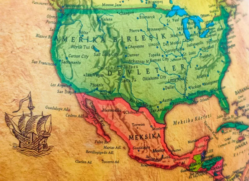
This wasn't just any map. Melish's "Map of the United States with the Contiguous British and Spanish Possessions" became the visual blueprint that politicians, diplomats, and explorers used to understand what America actually looked like. And here's the kicker — it was so accurate that government officials used it during the negotiations that established the western boundaries of the Louisiana Purchase.
The Accidental Cartographer
Melish never set out to become America's unofficial chief mapmaker. Born in Scotland, he came to the United States as a businessman in 1806, planning to write a travel guide for European immigrants. But as he journeyed through the young republic, he became obsessed with a glaring problem: nobody really knew what the country looked like.
Existing maps were either wildly inaccurate, covered only small regions, or were controlled by foreign governments who weren't exactly eager to share detailed geographical intelligence with their former colony. So Melish did what any reasonable person would do when faced with incomplete information — he decided to create the definitive version himself.
Crowdsourcing Before the Internet
What made Melish's approach revolutionary wasn't just his ambition, but his methodology. He essentially invented crowdsourced mapping, decades before the term existed. Melish gathered information from ship captains, fur traders, military officers, surveyors, and anyone else who had traveled through unexplored territories.
He cross-referenced expedition reports with Native American tribal knowledge, compared Spanish colonial records with British survey data, and somehow managed to synthesize all this scattered intelligence into coherent, accurate geographical representations. His workshop in Philadelphia became an informal intelligence hub where travelers would stop by to share their observations and purchase the latest version of his ever-evolving maps.
The Map That Made History
By 1818, Melish's maps had become so trusted that they were hanging in the offices of presidents and congressmen. When boundary disputes arose over the Louisiana Purchase territories, negotiators turned to Melish's work as their primary reference. His maps helped define the borders between the United States and British North America, essentially drawing the lines that would later become the northern boundaries of several western states.
The accuracy was staggering for its time. Modern cartographers who have analyzed Melish's work estimate that his major geographical features were typically within 10-15 miles of their actual locations — remarkable precision for someone working without modern surveying equipment or satellite imagery.
The Innovation Nobody Talks About
Perhaps Melish's most overlooked contribution was his approach to map design and information hierarchy. He developed techniques for showing different types of information simultaneously — political boundaries, topographical features, transportation routes, and settlement patterns — without creating visual chaos.
His method of using different line weights, symbols, and text sizes to indicate the reliability and importance of various geographical features became the standard approach that influenced American cartography for generations. If you've ever used a road atlas or GPS navigation system, you're seeing the descendant of design principles that Melish pioneered in his Philadelphia workshop.
The Forgotten Legacy
Despite his massive influence on how America understood itself geographically, Melish died in relative obscurity in 1822. His maps were gradually superseded by official government surveys, and his name faded from popular memory. Yet his impact was profound: he gave the young United States its first accurate self-portrait during a crucial period when the country was still figuring out what it wanted to become.
Today, original Melish maps are prized by collectors and historians, selling for tens of thousands of dollars. But more importantly, his approach to synthesizing diverse information sources into coherent, useful representations continues to influence everything from modern GIS systems to the algorithms that power our smartphone navigation apps.
Drawing the Future
Melish's story reminds us that sometimes the most important innovations come from outsiders who see problems that insiders have learned to ignore. An Irish immigrant with no formal cartographic training managed to create maps that government surveyors with unlimited resources couldn't match.
In our age of instant GPS and satellite imagery, it's worth remembering that someone once had to imagine what America looked like before anyone really knew. John Melish didn't just draw maps — he drew a nation into existence, one careful line at a time.